iPhone ‘App’ Of The Week : Google Earth
Web: www.fishfoto.com — E-Mail: fish@flyingwithfish.com
30/10/2008 – iPhone ‘App’ Of The Week : Google Earth
For quite some time people have enjoyed using Google Earth on their computers to check out various locations around the world.
I have been using Google Earth in conjunction with United Airlines as a fun way to search for fares, as I detailed back in January in this post: 09/01/08 – A Fun Way To Search For Airfare Specials
Google Earth is simple, you type in a location and Google Earth shows you an image of the area shot by satellite. I have used Google Earth for quite some time as a way to scout out locations. With Google Earth’s ability to show you an area as broad as the entire planet and as narrow as local road makes it an ideal tool to map out where you are, where you are headed, where you want to go.
Having Google Earth on my iPhone allows me to stand in a location and get the big picture on angles I want to explore. Standing on a street corner in a city I don’t know anywhere in the world, I can type in my location and find options for locations to create images. This new information found from Google Earth, in my hand, gives me a new perspective on images I can offer my clients.
For travelers who are just interested in where they are, or photographers seeking a real life, photographic image of the map in their hand, Google Earth is an indispensable tool and a vital iPhone App.
This is an iPhone App you should be downloading right now!
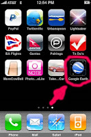
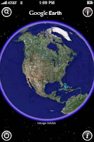
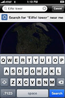
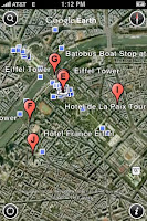
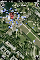
Below are six photos of Google Earth for iPhone locating the Eiffel Tower in Paris (its under all the blue boxes in the final photo)

